See the ground
Explore real maps in 2D and 3D. Load elevation around your mission.
Plan over real terrain. Review clearance and wind-aware checks. Keep your missions in your own workspace.
A Google account is all you need.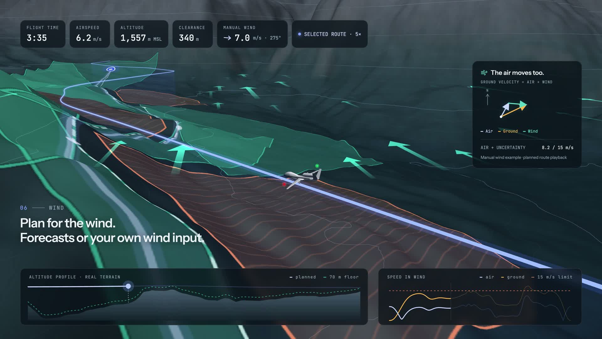
Maps by MapTiler and OpenStreetMap contributors. Forecast by Open-Meteo.
The product film introduces Trajectory Planner. To plan your own mission, sign in and work through the route, constraints and analysis in your workspace.
Forecasts describe model conditions for the selected departure; they can miss local gusts.
Explore real maps in 2D and 3D. Load elevation around your mission.
Review terrain clearance, flight dynamics and wind-aware airspeed checks.
Save private routes and analysis to your account. Pick up on another device.
Built on my master’s thesis in UAV trajectory planning and optimization. A research foundation, shaped into a workspace for planning, checking and refining your missions.